…….
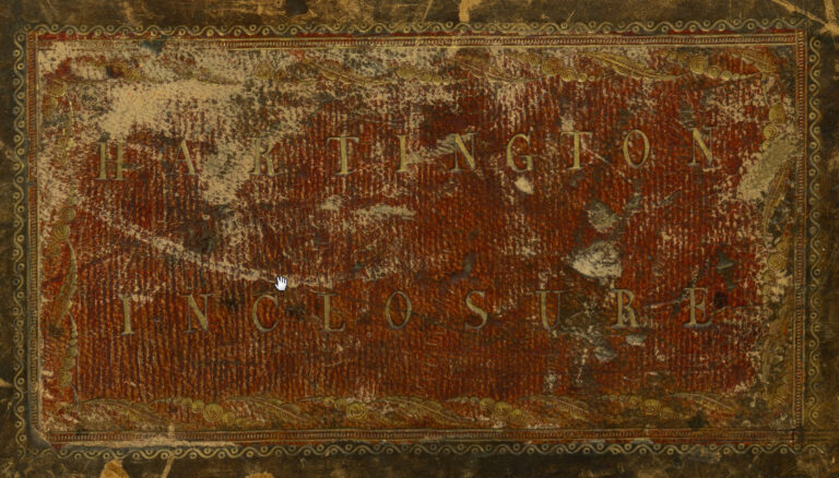
Hartington Inclosures
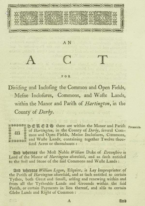
The Hartington Inclosures is a document from the late 18th/early 19th century which according to the act:
“Dividing and Inclosing the Common and Open Fields, Mesne Inclosures, Commons, and Waste Lands within the Manor and Parish of Hartington in the County of Derby”
It includes a full survey of the land in the area including 5 master maps dated 1804.
This is an ongoing project so at this stage only the raw maps are made available for viewing as well as PDFs of the actual document narrative, survey detail etc.
The final aim is to fully segment the maps at a field level and then map the ownership/holding size/field name over to the survey and then (where possible) provide further narrative about the owner.
Digitisation, stitching & restoration by Leon Goodwin (leon@hartingtonhistorygroup.uk)
Document Transcribers: TBC
Please note all documents and maps linked on this page are property and copyright of Hartington Parish Council 2022.
The maps are very large so please allow up to 30 seconds for them to load.
Hartington Inclosures – Survey

Hartington Inclosures – Act

Hartington Inclosures – Narrative

Hartington Inclosures – Receipts

Map 1

Map 2

Map 3

Map 4

Map 5
